
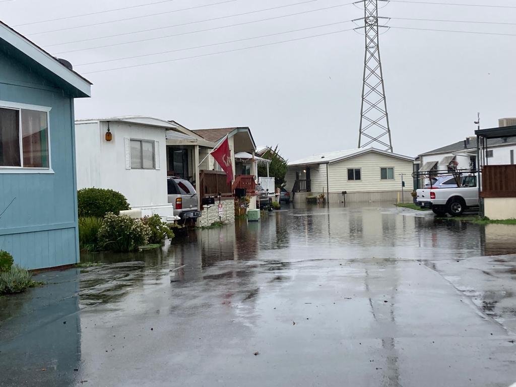
A strong storm system has put the entire Bay Area under a flood watch starting Wednesday that is expected to be as bad or worse than Saturday's deluge, with possible life-threatening events, according to a forecast update from the National Weather Service.
The update issued Monday afternoon includes five key points, with the first noting a “likely threat to life during this storm.” Mudslides are anticipated due to soil saturation, and rapidly rising creeks will present additional hazards.
“Simply put, this will likely be one of the most impactful large-scale systems this meteorologist has seen in a long time. Impacts will include widespread flooding, washed out roads, collapsed hillsides, downed trees, widespread power outages, immediate disruption of commerce, and worst of all, likely loss of life. This is truly a brutal system we are watching and needs to be taken seriously,” one meteorologist noted of the forecast for the upcoming storm.
The forecast includes an updated threat matrix that categorizes “extreme risk” for conditions expected Wednesday and Thursday, including increased wind gusts, a flood watch that now includes the entire Bay Area, and an additional forecast Friday through Sunday following the big storm for about 1 to 2 inches of rain in most areas.
Wednesday morning into Thursday will be the worst of the storm, with heavy rain and strong winds with gusts of 35 to 55 mph in most areas, and stronger winds at higher elevations.
A flood watch will be in effect from Wednesday morning through Thursday afternoon, with rainfall amounts of 2 to 4 inches expected in valleys, 3 to 6 inches on foothills, and 8 to 10 inches in coastal mountains.
The updated forecast includes higher rainfall totals for several areas than the previous forecast issued on Sunday:
- San Rafael (4-6 inches, 3-4 inches);
- San Jose (2 to 3 inches, 1.5 to 2 inches);
- Livermore (2-3 inches, instead of 1.5-2 inches);
- Stockton (2-3 inches, instead of 1.5-2 inches); and
- Hollister (2-3 inches, instead of 1.5-2 inches).
Two areas on the coast south of San Francisco may see slightly less rain than the first forecast. However, the revised forecast is for 2 to 3 inches of rain in Half Moon Bay, down from 3 to 4 inches, and 3 to 4 inches in Santa Cruz instead of 4 to 6 inches in the previous forecast.
Notably, little to no rain is expected for the region on Tuesday and represents the last chance to clear Saturday's storm before the next one arrives, forecasters said.
For the latest forecast updates, please visit www.weather.gov/bayarea.
With information from Bay City News.
You may be interested in: Midweek storm could aggravate situation in the Bay Area
